Munich is a great base if you want to do some walking in the mountains of Upper Bavaria.
There are plenty of nearby lakes - some of them easily reached by the Munich public transport system - for those looking for some easier elevations.
But the Bavarian railway system also offers some fabulous deals for those wanting to attempt a more challenging hike in the higher mountains along the border with Austria.
Those not used to an affordable and convenient public transport system will have their mind blown by the various offers from Munich:
This is the Munich public transport operator (official name 'Münchner Verkehrs- und Tarifverbund GmbH'). It includes the U-Bahn (underground trains) and S-Bahn (local trains) and works on a system of zones.
So, you check if your destination is in the MVV region (it stretches pretty far south) and, if so, which zone it is in. Then work out the price for a day ticket for your zone. Booking online is cheaper than booking in person.
Website: www.mvv-muenchen.de
The Deutsche Bahn is the German national railway, but it also offers special tickets for travels within a state or for specific regions within that state. So, if the MVV does not cover your chosen hike destination in Upper Bavaria, Deutsche Bahn is your next port of call.
For example, the Bayern Ticket allows cheap unlimited travel for a day within Bavaria on regional train and bus services. If there are a group of you, there are upgrades for each person at a reasonable price.
But there may also be cheaper alternatives.
The Werdenfels Ticket covers Munich (in fact all the way out to Munich Airport) right down to Mittenwald on the German border with Austria. You can even buy an extension into Austria and visit Scharnitz (the source of the Isar river that runs through Munich), Seefeld in Tirol or the Tyrolean capital, Innsbruck.
So there you are in Munich, one of Germany's biggest cities, and you are taking in all the sights and culture. And you fancy a day out away from the hustle and bustle and decide to go on a hiking trip close to the city.
One of the things many visitors to Munich don't appreciate is just how close the city is to some serious mountains. (The Zugspitze, Germany's highest mountain just outside Garmisch-Partenkirchen is not far under 3,000 metres in elevation.)
If you are planning a hiking trip, make sure the route you choose is suitable for your experience and your equipment. Of course, there are fairly flat walks, like the short loop around the Eibsee, where training shoes will be perfectly fine.
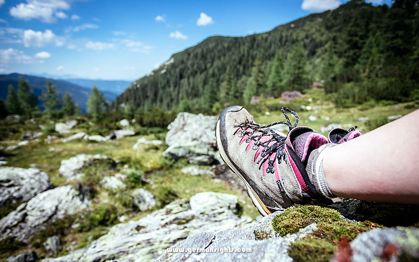
Sturdy footwear suitable for mountain hiking
But for any hiking route with a decent change of elevation requires proper footwear, and preferably sturdy hiking boots. It's not just a question of safety when on a steeper mountain trail, but also comfort.
Training shoes may be comfortable for wandering around a city but they lack support for a long day hike which frequently climbs and descends.
Remember also to take good rainwear, sunglasses (the more you climb in altitude the more your eyes need protection) and suncream. And even though you may plan on stopping at a mountain hut for some refreshments, make sure you take plenty of liquids and something like an energy bar or two for when you might be starting to feel the exertion.
These hiking routes are not meant to be a definitive listing of all the hiking available or to be the nearest and easiest to get to from Munich. They are a selection of varied difficulties and distances from the city which should provide something for all standards of walker.
The videos for each hiking route are short overviews of the trail to give a quick idea of what each walk entails.
Let's start off with an easy hike and shortest of all our chosen walks. The Eibsee Lake is located at the base of the Zugspitze, Germany's highest mountain and offers some spectacular views across the water to the peaks of the Wetterstein range on the border with Austria.
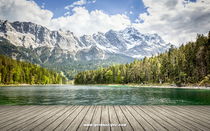
The Zugspitze mountain from the Eibsee lake
The circular hiking trail around the lake is undemanding and can be undertaken with normal outdoor footwear suitable for walking on wooded paths. It is also a popular spot for sunbathing and swimming and can get extremely crowded at high season weekends in summer.
The best way to get to the lake on public transport is to buy the Werdenfels rail ticket from Munich main station to Garmisch-Partenkirchen, then take the local bus from outside the station to the Eibsee stop beyond the village of Grainau. (Unfortunately many of the Garmisch regional buses are not included in the rail ticket deals.)
Hike distance: just over 7 kilometres
Elevation gain:
around 230 metres
👉 More information about the Eibsee lake
This is the nearest of the hikes to Munich city centre and one advantage (as well as sampling the famous beer at Andechs!) is that both starting and finishing points can be reached on the city public transport system.
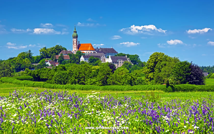
Andechs Monastery
The starting point of Starnberg is on the S6 suburban rail line from Munich Central Station ('München Hauptbahnhof'). The hike is quite a long one so there isn't too much time to relax on the lakeshore promenade in Starnberg.
Instead, hikers should take the route climbing to the west and heading towards the village of Maising, either following the road or the hiking trail along the stream.
From Maising the trail skirts the Maisinger See on the eastern side and then heads through Aschering before a stretch through the countryside towards Andechs monastery. From here there are a number of options down to Herrsching and, eventually, the S-Bahn station for the S8 line.
Hike distance: around 20 kilometres
Elevation gain:
around 450 metres
👉 More information about Lake Starnberg, Andechs Monastery and Lake Ammersee
A little bit further on the same train line as above - and still using the Werdenfels ticket - is the border town of Mittenwald.
Back in the days of Napoleon, Bavaria was at war with Austria and here the Bavarians and their French allies found a way over the mountains to attack the border fortifications from the rear.
The walk is still called the 'Franzosensteig' ('Frenchmen's Climb') and leads down to a spectacular walk through the Geisterklamm gorge before heading back into Germany and towards Mittenwald.
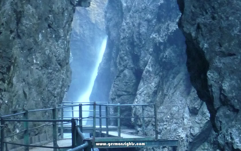
The Leutaschklamm gorge outside Mittenwald
Don't miss the smaller gorge (paid entrance) at the German end with a spectacular waterfall. Those who want to shorten the walk a little can also take the bus from Mittenwald up to the Lautersee lake (which is where the video below starts and finishes).
Hike distance: around 10 kilometres
Elevation gain:
around 360 metres
👉 More information about Mittenwald
This is a long day hike but a generally easy trail from the town of Murnau, which is another hiking destination accessible with the Werdenfels rail ticket.
The hiking route explores the protected Murnauer Moos, which is one of the largest remaining bogs in Europe with plenty of rare flora and fauna, and then rounds the Staffelsee lake to the west of Murnau.
Hike distance: just under 30 kilometres
Elevation gain:
around 570 metres
👉 More information about Murnau
The Tegernsee is another of the lakes in the foothills of the Alps to the south of Munich.
This circular hike starts from just outside the town of Tegernsee (the hikers' car park at the Alpbach stream) and climbs to the Riederstein mountain hut. Those who wish can take the short but steep climb up to the spectacular Riederstein chapel and its views over the lake and surrounding mountains.
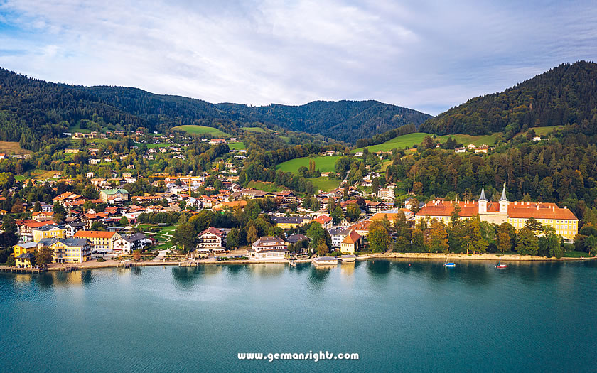
View over the town of Tegernsee and the abbey
The town of Tegernsee can be reached by train and the rail service is included as part of the Munich public transport area (so visitors from the city can buy a ticket through the MVV mentioned above).
Hike distance: just under 10 kilometres
Elevation gain:
around 500 metres
👉 More information about Tegernsee